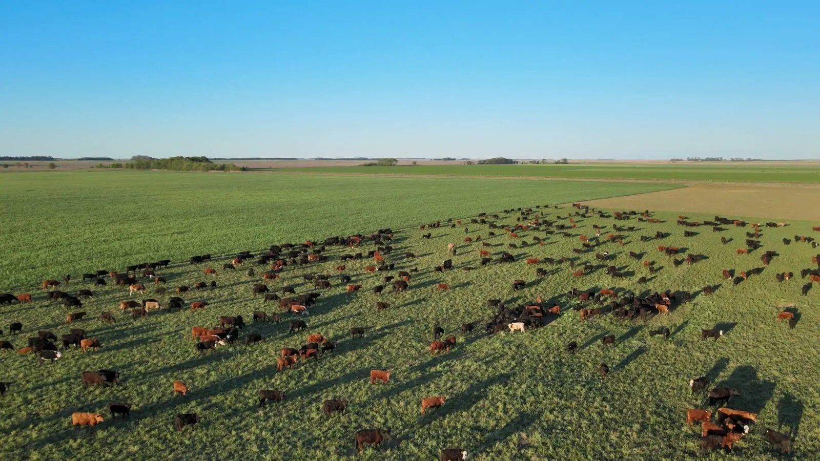
Your capital,
on the best land
We turn the countryside's potential into your next great investment
We identify and design the best agro investment opportunities, working through a network of producers and land agencies across every region who connect us to the ground.
Fields
View FieldsLand selected for its productive capacity, sourced through a network of specialized rural land agencies in every region.
Projects
View ProjectsAgroproductive models designed to generate steady returns and long-term growth.

Agro Intelligence
& Investment
The agricultural sector in the region runs 25% to 40% below its capacity. itatí turns that untapped potential — held back by limited capital and specialized management — into solid, scalable investment opportunities.
Why itatí?
Our Edge
An investment strategy with local execution
At itatí we select, analyze, and structure agroproductive investment opportunities focused on the investor's objectives and a long-term view. To do this, we draw on a territorial ecosystem that brings local knowledge and execution capacity.
How We Work
How we work with every investor
We represent the investor
In a market built around the seller, we focus on meeting the requirements and needs of whoever is putting in the capital.
We bring territorial knowledge
We work with a network of rural land agencies across Argentina, Uruguay and Paraguay. We study and select the properties in their portfolio that meet itatí's standards and represent a strong opportunity for investors.
We turn land into an investment thesis
We translate size and price into a production model, projected cash flow, sensitivities, comparables and a concrete value-creation strategy.
We manage the entire deal
Legal due diligence with transferable title. Verification of the survey, tax standing and provincial restrictions, deal structuring and closing.
Where We Operate
Our portfolio today
35 properties · 185,611 ha
Active properties in the network across Argentina, Uruguay and Paraguay. Full profile for each one on the Fields page.
Locations shown at the town/locality level — not the exact pin of the land.